The Southwest Florida Water Management District (SWFWMD) is currently preparing for a countywide LiDAR topographic data to assess/measure any new topography changes from their last data collection in 2007.
Why is this important for Hernando County residents? Flooding.
“Everyone knows that there are places in Hernando County that flood, that’s a given. There are lots of places in the immediate area that when it rains a few inches or more, there are areas that flood,” Karlin said. “The topographical data we collect make up the basis for our floodplain models. This forms the basis of all of our watershed management program and all of our floodplain modeling for not only us but for FEMA.”
A watershed is an area of land that feeds all or some of the water running under it and draining off of it into a body of water. It also can combine with other watersheds to form a network of rivers and streams that progressively drain into larger water areas.
Staff from SWFWMD GIS department along with contractors Luke Kratky; Vice President, Jackson Beebe; Geospatial Analyst and Lance Carey: Pilot from Dowe Gallagher Airborne Data Group conducted a LiDAR calibration test of the Brooksville Airport. This test was scheduled to ensure the calibrations and information that will be collected are correct. It involved scanning the entire airport.
“Every little detail matters,” Luke Kratky said. “Inches matter, centimeters matter. That even falls into how to construct bridges…do you raise the road up 6 inches above what it was? I mean it has a tidal wave effect on every bit of urban planning you do.”
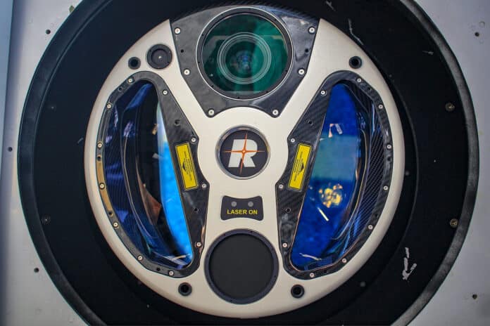
Loaded in a Cessna Grand Caravan EX, equipped with high tech computers including one valuable piece of equipment; a LiDAR.
The LiDAR is a remote sensing technology which uses light pulses from a laser to collect measurements which are used to create 3D models and maps of objects and environments. This is a multi-million dollar piece of equipment that has been able to help many agencies obtain valuable geological data. This information is not only used by SWFWMD but other agencies like United States Geological Survey (USGS), United States Fish and Wildlife Service (USFWS), United States Forest Service (USFS), Natural Resources Conservation Service (NRCS) and other federal government agencies that collect data for
• Flood management and prevention
• Drought preparedness
• Water quality monitoring
• Fire Prevention and Management
• Agricultural uses and management
• Forestry uses and management
• Rangeland uses and management
• Archaeology
• Geological Risk Detection
• Wildlife habitat management and protection
“This is part of a bigger project, we are actually flying the entire peninsula and Hernando County is part of that bigger project,” Al Karlin said.
“This data collection is so critical because as things are built, these are the preliminary data that our experts and scientists use in order to make sure people are protected from flooding. One of our core missions is flood protection,” said Susanna Martinez Tarokh, Public Information Officer for Southwest Florida Water Management District.
The Southwest Florida Water Management District is the scientific agency that collects the data that is utilized by community partners, as well as helping any residents or businesses that may have an interest in building residential and/or commercial properties.
Another aspect of all this is to visually see how the environment changes over the seven-year timeline. The flow or size of rivers and lakes, as well as land elevations, change, which could be caused by population growth, urban development or natural occurrences like hurricanes. The information collected can help many agencies determine specific data for research and other needs.
It will take up to five days to map the entire county, which is around 800 square miles and over eight months to process the data.
Once the data is processed into graphs and other informative reports, that information can be viewed on SWFWMD’s website: WaterMatters.org/Resources.

