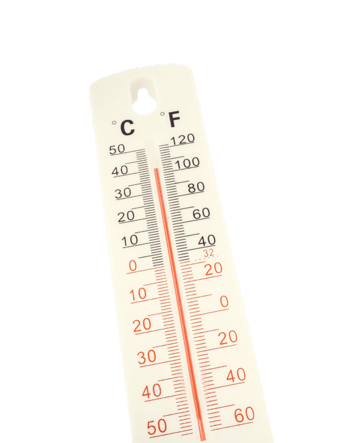
This summer’s heat has been brutal. Not only does it feel hot enough to cook an egg on your driveway, but you could also use your mailbox as a toaster oven.
As we finish out the dog days of summer, it is still excessively hot outside, and we are receiving many dangerous heat warnings, such as Excessive Heat Warnings, Excessive Heat Watches, Heat Advisory, and Excessive Heat Outlooks.
What do these warnings mean? Excessive Heat Warnings are issued within 12 hours of extremely dangerous heat conditions when the maximum heat index temperature is expected to be 105 degrees or higher for at least two days and nighttime air temperatures will not drop below 75 degrees. Excessive Heat Watches are issued when conditions are favorable for an excessive heat event in the next 24 to 72 hours. Heat Advisories are issued within 12 hours of extremely dangerous heat conditions when the maximum heat index temperature is expected to be 100 degrees or higher for at least two days, and nighttime air temperatures will not drop below 75 degrees. Excessive Heat Outlooks are issued when the potential exists for an excessive heat event in the next three to seven days.
According to the National Oceanic and Atmospheric Administration (NOAA) “In July 2022, NOAA as part of the interagency National Integrated Heat Health Information System, launched Heat.gov, a new website to provide the public, decision-makers and the news media with clear, timely, and science-based information to understand and reduce the health risks of extreme heat.”
Recently, The National Weather Service in Miami and Central Florida has been experimenting with new heat advisory and warning criteria to better reflect the health impacts that result from heat at lower heat index values. In other words, The National Weather Service is lowering the threshold for heat warnings, which is why we are receiving more frequent alerts than we have in the past. On Friday, August 11th, the entire state of Florida was under heat advisories or excessive-heat warnings.
Dan Noah at the National Weather Service explained, “We have an unusual weather pattern where the high pressure ridge has been to our south since early June, and that gives us morning showers but the rain is on the other coast in the afternoon. And if we don’t get rain in the afternoon, we just get hotter and hotter, and we don’t cool down overnight.”
This August is on track to become one of the warmest on record. Tampa went seven days in a row without going below 80 degrees. The level of humidity in Florida is normal; however, not getting cooling afternoon rain is not. This causes higher temperatures.
Heat warnings and advisories differ from county to county. In Miami-Dade, if the heat index is 105 degrees Fahrenheit for two or more hours, a heat advisory will be issued, but if it is 110 degrees for two or more hours, a heat warning will be issued. In Broward, if the heat index is at least 108 degrees Fahrenheit for two or more hours, a heat advisory will be issued, but if it is 113 degrees for two or more hours, a warning will be issued.
When it comes to weather in Florida, heat is not the only danger; you must also worry about humidity. If your body gets too hot, it cools itself off by sweating. A person’s body temperature reduces as perspiration evaporates. However, when the humidity is high, a person’s sweat will not evaporate as quickly or at all, making it feel warmer than it is outside. This is known as the heat index, or what the temperature feels like to the human body when relative humidity is combined with the air temperature.
Humidity is dangerous to those who are not used to it. A runner in the Brooklyn Half Marathon died last year after crossing the finish line, and sixteen other people were hospitalized due to overheating. The temperature throughout the race ranged from the low 60s to the high 70s, but the humidity happened to be unusually high for the area at 83 percent. Because of the high humidity, runners were unable to cool down and overheated.
Since 2020, the planet has been in a La Niña, but as of Spring 2023, the climate pattern is changing to an El Niño. El Niño causes warmer and wetter weather overall due to a warming of the ocean surface, or above-average sea surface temperatures, in the central and eastern tropical Pacific Ocean. El Niño and La Niña occurrences tend to last nine to 12 months but can sometimes last for years. According to the National Weather Service, some impacts of El Niño include usually increased rainfall in Florida during Fall-Winter-Spring months, reduced risk of wildfires, and a higher risk of flooding. El Niño has been shown to reduce the number of hurricanes that form in the Atlantic Ocean due to increased vertical wind shear.
Expect to get lots of heat warnings for at least several more weeks. Hopefully, there will be a return of afternoon showers to cool us down and then you will be able to use your mailbox as a mailbox again.

